

Maps and Aerials
Aerial Photography
Find out how to create aerial photography plots using digital orthophotography. Learn more
ChescoViews
A searchable county map with parcel information and printing options. Learn more
Chester County's GIS HUB
A public platform for exploring and downloading Chester County's GIS data. Learn more
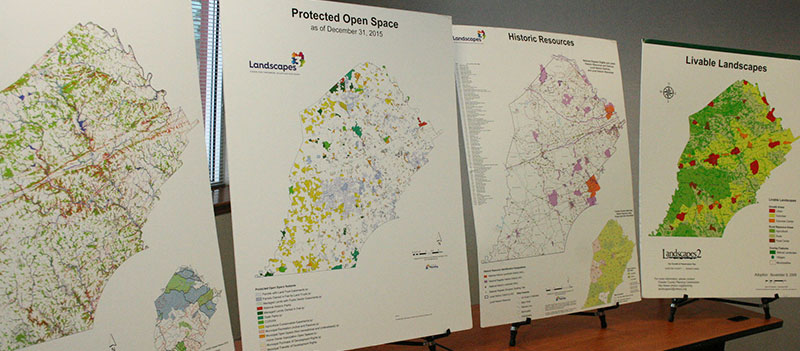
Map Index
This map index provides links to maps created by the Planning Commission that are available to the public for information purposes only. Chester County makes no warranty, expressed or implied, regarding accuracy, completeness, or usefulness of the mapped information. Users of this information assume all liability for its fitness for a particular use.